Your Partner for Architectural Engineering Construction Geospatial Solutions
Want to elevate your project efficiency?
Empowering your projects with meticulous design accuracy to ensure every detail is flawlessly executed.
Transforming challenges into opportunities with cutting-edge solutions that redefine industry standards.
Charting the path to your triumph, where exceptional outcomes are not just goals, but guarantees.
Trusted by 100+ world-class brands and organizations of all sizes


We Are Obsessed with solutions that matter
Bringing Technology to the Heart of Every Industry.
Our specialised services cater to a broad spectrum of sectors including Telecom, Oil and Gas, Infrastructure, Agriculture, Engineering, Manufacturing, and Mining.
Discover how we can transform your projects and operations with our cutting-edge solutions.
We're No.1 Oil & Gas Company
- Clean energy for a bright future
- Sustainable development
- Improving access to energy


We Spread Around The World
With a global footprint, our presence spans continents, ensuring easy access for clients and the agility to deliver faster results, bringing your projects to life with unmatched speed and efficiency
Years of Experience
Office Worldwide
Workers Employed
We Provide
Integrated Engineering Solutions for Industry Advancements.
Streamline project execution with unparalleled precision and efficiency, driving cost savings and elevating quality across industries.
We see ourselves at the heart of this transformation, empowering businesses across Industries.
To be the catalyst for change, driving progress and innovation in every project we touch
Our Services
Your Gateway to Advanced Engineering Solutions
Making Precision, Efficiency, and Innovation at the Heart of Your Success.
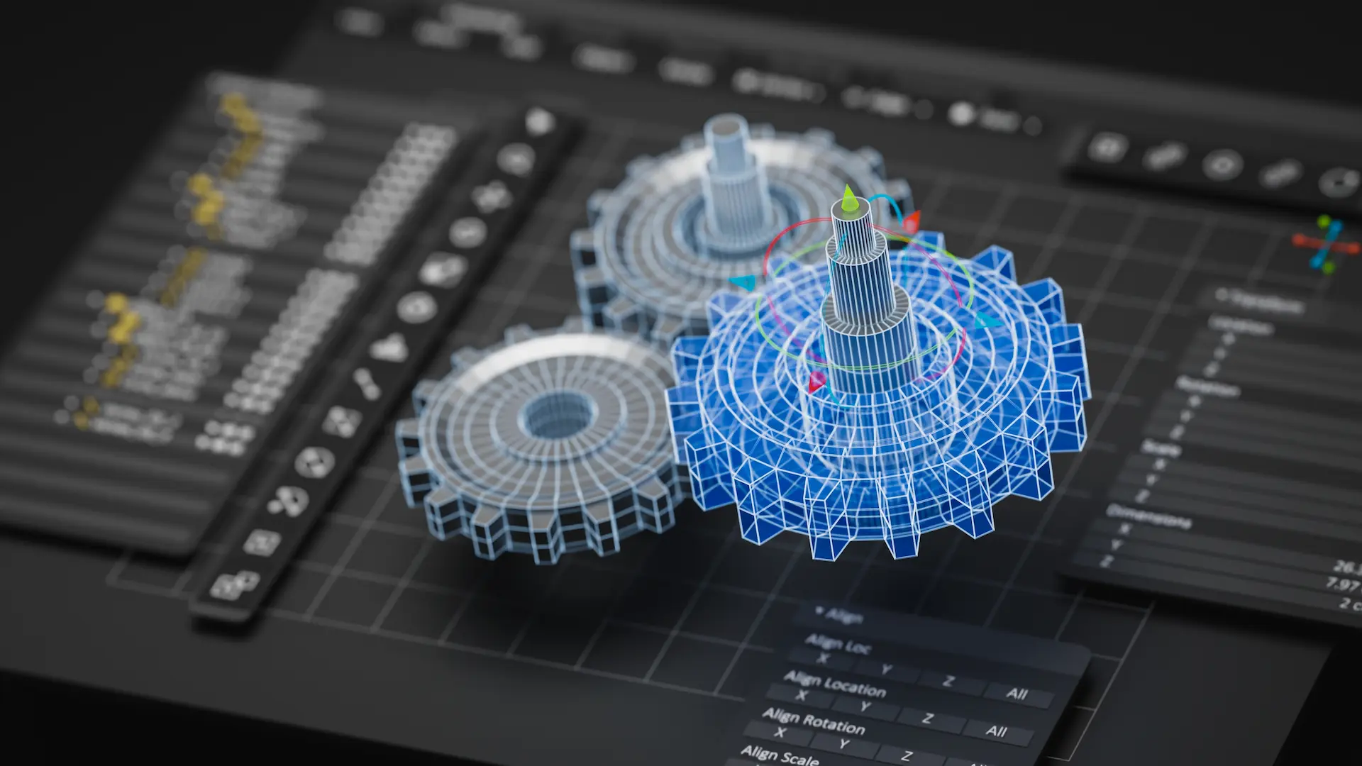
3D Laser Scanning
Structural Steel Detailing
2D CAD Drawings
3D CAD Modelling
As-Built Modelling
GIS for Utility Mapping
LiDAR Data Analysis and Visualization
Photogrammetry
Capture reality with our photogrammetry services. Convert photographs into precise 3D models for documentation, inspection, and planning across various sectors.
Telecom Domain Service
Revolutionise your telecom infrastructure with our dedicated services. From network planning to infrastructure deployment, we provide solutions that empower connectivity and growth.
For Assured Results
Let's Build the Future Together
At Arowana, we are more than just service providers; we are your partners in innovation and success. Our dedicated team is ready to assist you in navigating the complexities of today’s industries with advanced solutions that make a difference.
Ready to Transform Your Projects with Precision and Efficiency?
Industries We Serve
Working for a better, more resilient future for humanity.
Building the backbone of global communication with innovative infrastructure solutions.
Enhancing exploration, production, and safety through advanced technological services.
Shaping the future of urban and rural landscapes with precise engineering and planning.
Providing the foundation for innovation with detailed estimation, analysis and design solutions.
Streamlining production processes with accurate modelling and analysis for quality and precision.
Revolutionising mining operations with technology-driven strategies for exploration, safety, and efficiency.
Why Choose Us
We Prioritise Excellence
At Arowana, we believe in the power of precision, innovation, and technology to transform industries. Our team of experts leverages the latest technological advancements to deliver solutions that not only meet but exceed our clients' expectations.
With a commitment to quality, accuracy, and customer satisfaction, we are your ideal partner in navigating the complexities of the modern industrial landscape.
Some of the key aspects that make us what we are today.
Experience
Predictive Analytics
Information Security
Risk-Free Concepts
Complete Digital Twinning
Local Presence
Your success is our mission
Execute Your Projects With Confidence
Discover how Arowana can revolutionise your operations, reduce risks, and drive your projects to success with our advanced geospatial and engineering solutions. Whether you’re in Telecom, Oil and Gas, Infrastructure, or any of the industries we serve, let our expertise be your advantage.
Connect with Us Now
News & Insight
Lorem ipsum dolor sit amet, consectetur adipiscing elit.
Newsletter
Sign up our newsletter to get update news and article about company.