LiDAR Data Analysis and Visualisation Services
Elevating Insights with Precision and Clarity
The Purpose
This cutting-edge approach marries laser light with IMU and GPS data, resulting in meticulously detailed models of the Earth’s surface, offering both accuracy and cost-effectiveness.
In an age where data drives decisions, the precision and depth of that data become paramount. LiDAR (Light Detection and Ranging) Data Analysis and Visualization services cater to a broad spectrum of industries including Environmental Management, Urban Planning, Forestry, Mining, and Civil Engineering.
These sectors face the common challenge of needing to accurately understand and interact with complex environments. Traditional data collection methods fall short in providing the comprehensive, three-dimensional insights that LiDAR technology offers.
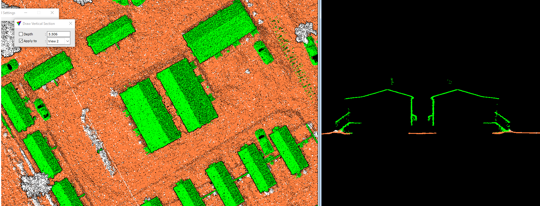
The significance of LiDAR Data Analysis and Visualization lies in its unparalleled ability to capture detailed topographical and vegetative data across vast areas with incredible accuracy and speed.
Without these insights, planning, conservation efforts, and resource management can be based on incomplete data, leading to inefficient decision-making and potentially costly mistakes.
Benefits Of The Service
Unmatched Accuracy
Offers high-resolution, 3D representations of physical environments, providing a level of detail unmatched by traditional survey methods.
Efficient Data Collection
Reduces the time and resources required for extensive field surveys, delivering comprehensive data in a fraction of the time.
Enhanced Decision Making
Empowers stakeholders with the ability to make informed decisions based on detailed visualisations of terrain, infrastructure, and vegetation.
Risk Mitigation
Identifies potential environmental and structural risks, facilitating proactive management and mitigation strategies.
Innovative Solutions
Enables the development of innovative solutions to complex problems, leveraging detailed environmental models.
Adopting LiDAR Data Analysis and Visualization can lead to significant cost savings and operational efficiencies by enabling more informed and precise decision-making processes.
The Consequences Of Ignorance
Relying on less detailed data can result in planning oversights, unnecessary environmental impact, and inefficient resource allocation.
The financial, environmental, and operational costs of these oversights can be substantial, affecting the project’s success and sustainability.
Our Expertise
Our team of experts combines technical prowess with innovative analytical techniques to unlock the full potential of LiDAR data for our clients.
With a proven track record in a variety of sectors, we deliver precision, efficiency, and clarity, turning complex data into clear, understandable, and useful information.
Our dedication to quality and innovation has made us a trusted partner for clients looking to leverage LiDAR technology to its fullest.
By choosing Arowana, you benefit from our commitment to excellence and our passion for delivering solutions that meet your unique needs.
We specialise in harnessing LIDAR’s potential through comprehensive data processing, starting from raw point clouds.
Our output formats include LAS, BIN, and EBN, ensuring compatibility and flexibility for diverse applications.
Our suite of LIDAR services caters to a wide array of client needs:
- Precision bare earth classified digital terrain models
- Detailed contour mapping for enhanced spatial understanding
- Streamlined corridor surveys for infrastructure projects
- Robust volumetric analysis for informed decision-making
- Generation of intensity images and contours, illuminating terrain features
- Accurate floodplain mapping with 3D break lines, vital for risk assessment
- Extraction of immersive 3D street views from mobile LIDAR clouds, enriching urban planning and navigation
- Thorough terrain extraction and planimetric feature classification for comprehensive land assessment
- Specialised electric tower classification and wire detection for infrastructure maintenance and safety
We create elevation profiles, Digital Surface Models (DSM), and Digital Terrain Models (DTM) in various formats including raster, TIN, contour, or slope models, ensuring compatibility with diverse analytical tools and visualisation platforms.
Our commitment lies in delivering LIDAR solutions that empower our clients with unparalleled insights into their terrain, enabling informed decision-making and driving progress across industries.
Company Details
Sevices Provide
Project Timeline
Location
Need Help?
Schedule a call with us today to discover how our LiDAR Data Analysis and Visualization services can provide you with the insights needed to drive your projects forward.
With Arowana, elevate your understanding and your outcomes to new heights.