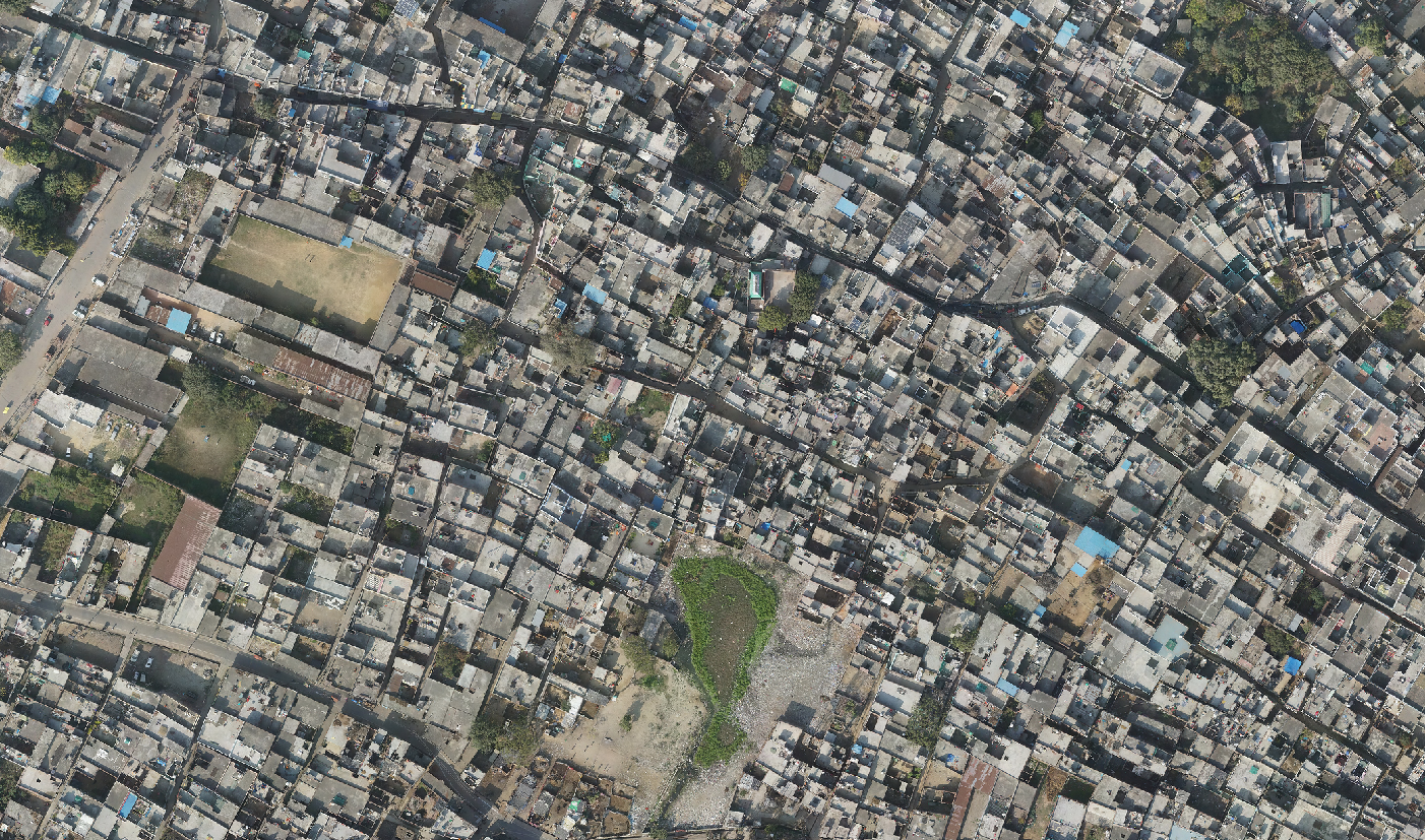
GIS for Utility Mapping Services
Mapping the Lifelines of Modern Infrastructure
The Purpose
Geographic Information System (GIS) for Utility Mapping is an indispensable tool for Utility Companies, Municipal Planners, Environmental Consultants, and Infrastructure Managers. These professionals grapple with the challenges of efficiently managing, maintaining, and expanding utility networks including water, gas, electricity, and telecommunications.
The need for accurate, accessible, and detailed mapping of these systems cannot be overstated, as it directly impacts planning, development, emergency response, and sustainability efforts.
The significance of GIS for Utility Mapping lies in its transformative power to visualise and analyse the spatial aspects of utility networks. Without this capability, managing these complex systems becomes a daunting task fraught with inefficiencies, potential for error, and missed opportunities for optimization and growth.
Benefits Of The Service
Enhanced Decision Making
Provides a spatial context for utility assets, enabling more informed decisions regarding maintenance, expansion, and emergency responses.
Operational Efficiency
Streamlines operations by accurately mapping utility networks, reducing the time and resources spent on field surveys and data collection.
Risk Reduction
Identifies potential conflicts and issues within the utility infrastructure, minimising the risk of service interruptions and costly repairs.
Improved Service Delivery
Facilitates better planning and management of utility services, leading to improved reliability and customer satisfaction.
Sustainability and Conservation
Supports environmental sustainability and conservation efforts by enabling more efficient resource management and planning.
Incorporating GIS for Utility Mapping into infrastructure management strategies leads to significant improvements in operational efficiency, cost savings, and service reliability.
The Consequences Of Ignorance
The absence of accurate and accessible utility maps hampers emergency response efforts, leads to ineffective maintenance schedules, and obstructs the strategic planning necessary for sustainable growth.
The costs associated with these inefficiencies and missed opportunities can be substantial, affecting not only the utility providers but also the end-users they serve.
Our Expertise
We have a proven track record of supporting utility providers and infrastructure managers in enhancing their operations, planning, and decision-making processes.
Our commitment to innovation and quality has positioned us as a leader in GIS for Utility Mapping, with a portfolio that spans diverse projects and satisfied clients.
By partnering with us, you gain access to cutting-edge solutions and a team dedicated to ensuring your utility networks are mapped with the utmost precision and clarity.
Arowana is specialised in the development of topographic maps through the creation of digital terrain models (DTMs), utilising either manually collected data or terrain modelling software. To enhance accuracy, these DTMs are supplemented with 3-dimensional break lines for precise contour definition.
Our expertise caters to a wide range of project requirements, whether it’s high-precision mapping with one-foot intervals for design purposes or preliminary designs with contour intervals ranging from 2 to 5 feet. Regardless of your project’s specifications, Arowana guarantees high-quality deliverables within your timeline.
Our Geospatial Group comprises seasoned GIS professionals with diverse backgrounds and extensive experience in GIS technology deployment. We offer a comprehensive suite of GIS services, including aerial and satellite image mapping, Geodatabase modelling and design, and more. With a decade of project experience, we’ve built a strong reputation for delivering top-notch solutions on time and within budget.
Our service offerings encompass a full range of DEM/DTM generation, TIN editing, contour interpolation, and accuracy levels sourced from various geospatial data like Digital Aerial Imagery, Lidar data, etc.
Our services include:
- Image Georectification/Georeferencing/Spatial Adjustment
- Map Digitization/Vectorization/Feature Extraction
- Utility Mapping
- Route Network Analysis
- TIN Creation
- Attribution
- Parcel Mapping and Updating
- Topology Validation
- Thematic Mapping
- Digital Elevation Model Creation/Maintenance of Geospatial Database
- 3D Shapefile Creation
- Agriculture/Forestry, Status Change Detection
- Spatial Analysis and Modeling
- Data Integration and Data Format Conversion
Company Details
Sevices Provide
Project Timeline
Location
Need Help?
Schedule a call with us today to explore how our GIS for Utility Mapping services can optimise your operations, reduce risks, and improve service delivery.
Let Arowana guide you through the complexities of utility mapping, unlocking new levels of efficiency and reliability for your infrastructure.